Analyzing Electoral Maps: What to Expect
Introduction
As elections draw near, analyzing electoral maps becomes a vital part of understanding the political landscape. In 2025, navigating these maps offers insights into voting trends, demographic shifts, and potential outcomes based on the latest data. This article delves into the intricacies of electoral maps, what to expect when analyzing them, and how they influence the broader election narrative. Whether you’re a seasoned political analyst, a curious voter, or a student of political science, understanding these maps can shape your perception of electoral dynamics.
Understanding the Basics of Electoral Maps
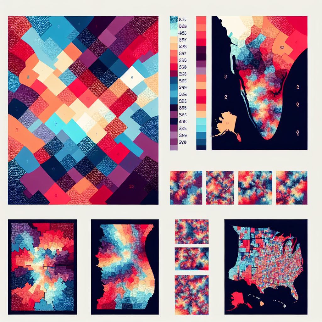
Electoral maps serve as visual representations of how votes are distributed across geographical boundaries, showcasing the outcomes of elections at various levels—from local contests to presidential races. In 2025, these maps have evolved to incorporate multimedia elements and interactive features that allow users to engage with the data meaningfully. By harnessing tools that track real-time voting trends and demographic shifts, analysts can derive sophisticated insights from these maps. The foundation lies in understanding key terms like “red states,” “blue states,” and “swing states”—terms that symbolize the political affiliations of different regions.
The importance of electoral maps extends beyond mere aesthetics; they form the backbone of electoral strategy. Political parties and candidates utilize these maps to identify areas of strength and weakness, allowing them to focus campaign efforts where they will be most effective. With the advent of advanced data analytics and machine learning, electoral mapping has become increasingly precise, enabling a more nuanced approach to voter engagement. Thus, as you analyze electoral maps in 2025, being aware of their basic components and significance is essential.
The Technology Behind Electoral Maps
In 2025, the technology supporting electoral maps has transformed significantly. Geographic Information Systems (GIS) are now widely utilized for mapping electoral districts and analyzing voting patterns through sophisticated data visualization techniques. These systems allow analysts to superimpose various data layers, such as socioeconomic factors, historical voting behavior, and demographic changes, all of which contribute to a more holistic view of electoral dynamics. As a voter or analyst, familiarity with GIS technology prepares you to interpret electoral maps more effectively.
Moreover, advancements in big data technology have enabled organizations to collect and analyze vast datasets concerning voter preferences, turnout rates, and regional issues. Consequently, these maps can depict not only who voted and how but also why they voted that way. Furthermore, social media influence and online engagement statistics are now frequently integrated into electoral analyses, highlighting the relationship between voter sentiment and electoral outcomes. This technological evolution allows for a richer understanding and deeper engagement with the electoral process.
Interpreting Electoral Trends and Patterns
Analyzing electoral maps in 2025 reveals more than just who won or lost; it unveils the underlying trends and patterns that shape electoral outcomes. One significant pattern to observe is the rise of suburban and urban voting blocs that are frequently trending blue, indicating a shift in political allegiance among more established groups. This movement often correlates with demographic diversifications, as younger, more diverse populations increasingly populate these areas. By leveraging these trends, political campaigns can tailor their messages and outreach efforts to resonate with evolving voter bases.
Additionally, understanding regional disparities is crucial in analyzing electoral maps. For instance, the 2025 elections may showcase stark differences between rural and urban voting patterns, driven by varying economic priorities, educational backgrounds, and social issues. Analysts must also consider how issues like climate change, healthcare, and economic reform have influenced voter behavior in different regions. By connecting these dots, one can predict future outcomes and understand the zeitgeist behind voting preferences, providing crucial insights for future elections.
Moreover, swing states hold particular importance in any electoral analysis. As shown in 2024, states like Arizona, Georgia, and Pennsylvania serve as barometers for national political sentiments. Tracking shifts in these states through electoral maps can often foreshadow larger national trends. Therefore, a comprehensive analysis requires paying special attention to these pivotal areas, understanding their unique challenges and voter concerns, and adapting electoral strategies accordingly.
The Role of Demographics in Electoral Mapping
Demographics play a critical role in interpreting electoral maps, particularly in 2025 when the electorate is increasingly diverse. Analyzing voter data by age, race, education level, and income provides insights into shifting allegiances. For instance, younger voters tend to exhibit more progressive values, leading to shifts in traditionally conservative regions as new demographics start to participate more actively in elections. Understanding these demographic factors helps analysts predict the impact of changing voter profiles on electoral outcomes.
Moreover, the intersectionality of demographics cannot be overlooked. Different demographic groups often overlap and influence each other, creating a complex tapestry of voting behavior. For example, the coalition between younger voters and racial minorities has been pivotal in recent elections, driving significant changes in various electoral maps. Thus, scrutinizing the interactions between demographic factors enables more nuanced analyses and helps identify key areas for mobilization.
Another vital aspect of demographics is geographic variation within states. Areas within a state can have vastly different voting behaviors based on localized socioeconomic factors. For instance, while urban centers may favor more liberal policies, rural areas might prioritize conservative agendas, reflecting broader national trends. Hence, breaking down electoral maps within states and examining localized demographics provides essential context and understanding for analyzing voting behaviors.
The Future of Electoral Maps in Political Analysis
As we move beyond the 2025 elections, the future of electoral maps is bound to change with new technologies and methodologies. One potential enhancement is the incorporation of predictive analytics powered by artificial intelligence (AI). As AI continues to advance, it will enable more precise forecasting of voting outcomes based on emerging trends and real-time data collection. Such advancements will not only improve the accuracy of electoral predictions but also allow for more proactive campaign strategies.
Furthermore, the concept of “participatory mapping” is gaining traction. This involves engaging local communities in the mapping process to create a more comprehensive view of voter sentiments and issues relevant to specific areas. True grassroots movements rely on understanding localized needs, and community-generated maps can serve as vital tools for giving voice to underrepresented populations. This evolution signifies a shift from top-down electoral mapping strategies toward a more inclusive approach.
Lastly, integrating social media analytics into electoral mapping provides a new frontier for analyzing voter sentiment. In 2025, mapping trends from platforms such as Twitter and Facebook offers real-time insights into public opinion and voter turnout motivation. By examining social media data alongside traditional polling results, analysts can paint a more thorough picture of the electoral landscape, aiding in understanding and responding to changes in voter sentiment and trends.
Conclusion
The analysis of electoral maps is a dynamic and evolving field that reflects the shifting political landscape in 2025. Understanding the basics of electoral maps, the technology behind them, and the various factors influencing voting trends are crucial for any stakeholder in the political arena. As demographics continue to shift, and technology becomes more integrated into electoral strategy, analysts and political operatives will benefit greatly from a comprehensive grasp of these maps. By equipping yourself with the knowledge of how to interpret these visual tools, you can better anticipate electoral outcomes and engage meaningfully in the democratic process.
FAQs
What are electoral maps used for?
Electoral maps are utilized to visually represent voting patterns and outcomes in elections. They help analysts, political parties, and candidates understand where support lies and how demographics influence electoral decisions.
How do demographic factors influence electoral maps?
Demographic factors like age, race, income, and education level can significantly influence voting patterns, resulting in unique trends in different regions and communities. Understanding these influences is key to analyzing electoral maps.
What role does technology play in analyzing electoral maps?
Technology aids in the creation of detailed and interactive electoral maps, utilizing Geographic Information Systems (GIS) and advanced data analytics. This allows for more accurate interpretations of voting data and trends.
Why are swing states important in electoral analysis?
Swing states are critical because they can tip the balance in elections due to their unpredictable voting patterns. They often reflect larger national trends and changes in voter demographics.
How can I access electoral maps for analysis?
Electoral maps are often accessible through various political news websites, research institutions, and official government election offices. Many of these sources offer interactive maps that showcase real-time data.